
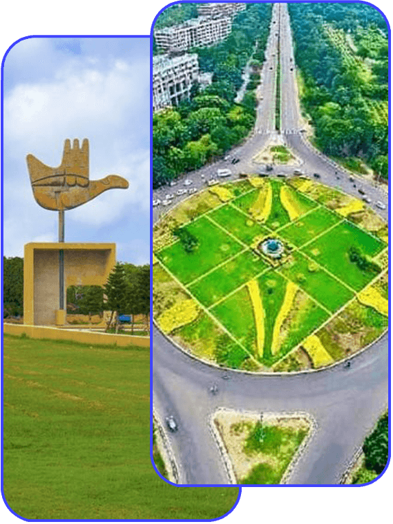
Unified Digital Land Records of Chandigarh
Transparency/Interoperability - Citizen First Government
About Us
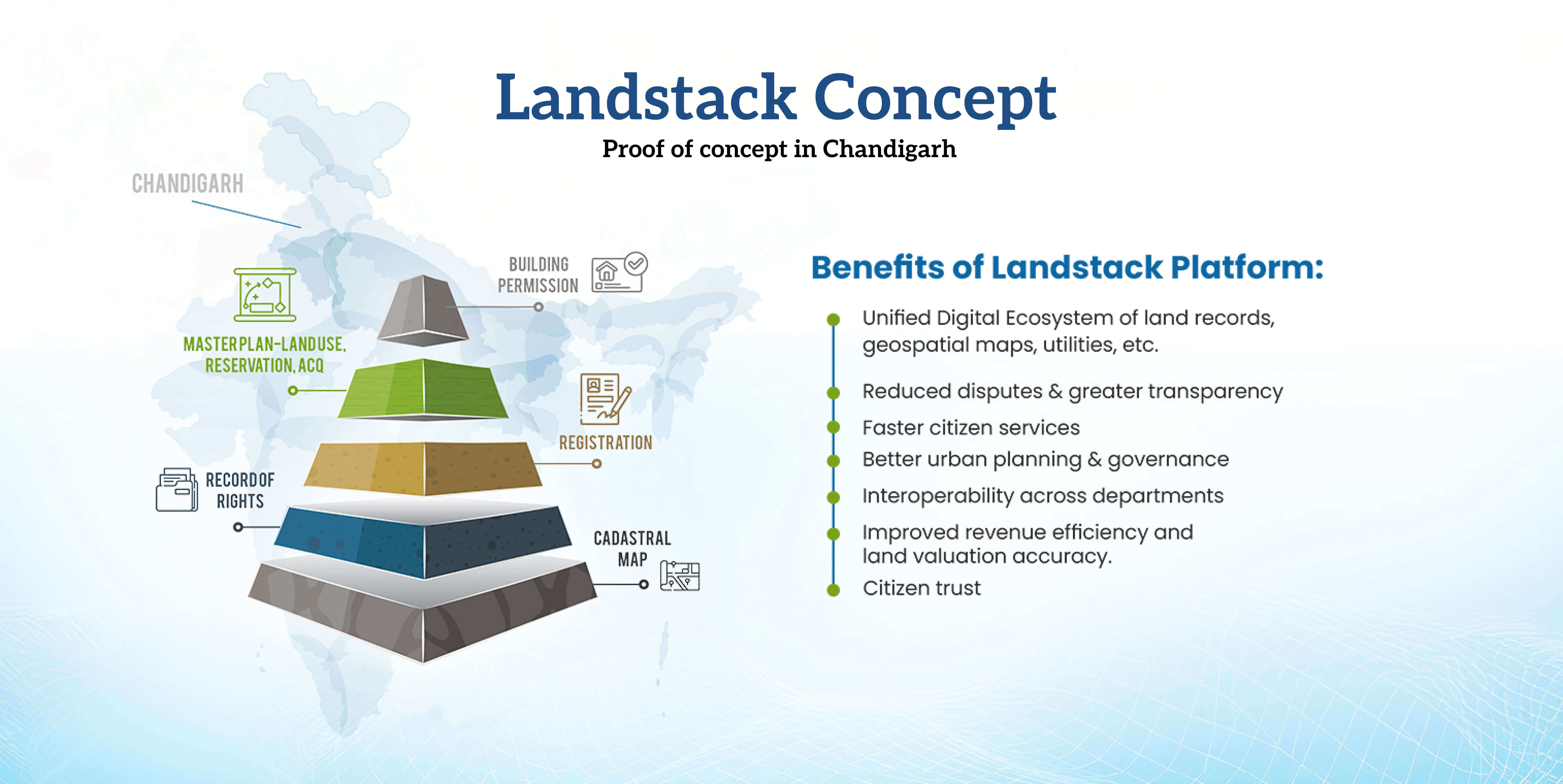
The Land Stack project is a government initiative, primarily in India, that aims to create a unified, transparent, and technology-driven land records management system by integrating existing land information into a single digital platform using Geographic Information Systems (GIS) and other modern technologies.
Property State Holders
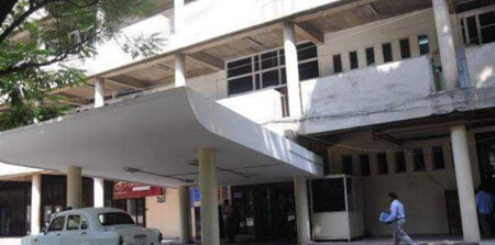
Estate Office
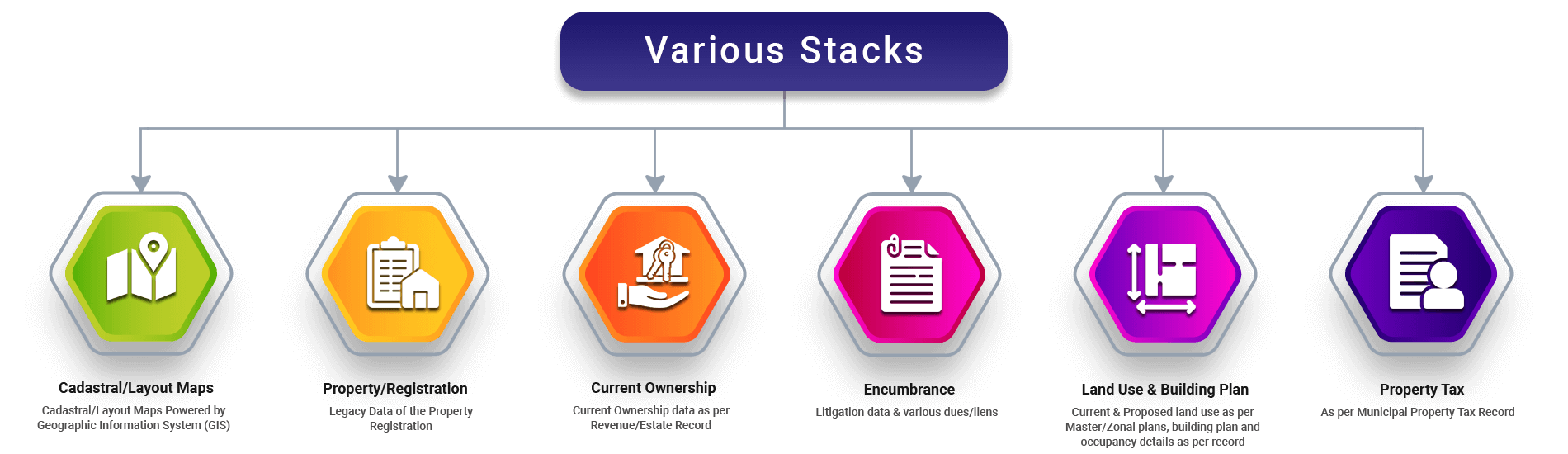
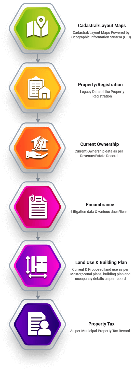
Every property is assigned a unique Land Parcel ID which links textual ownership records as well as land use and building plan data with a precise location on a digital map.

Revenue Department
Each land parcel/property situated in villages is assigned a unique identity which links ownership record and land use to a specific geographical location on map.
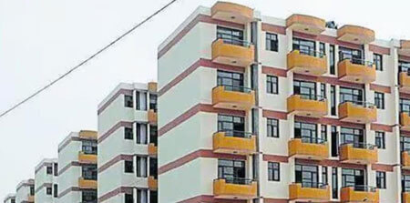
Chandigarh Housing Board
The Chandigarh Housing Board data is linked to the map as part of a city-wide initiative to create an integrated, map-based enterprise property management system.
Department of Urban Planning
Department of Urban Planning has converted the various layers of Master plan of Chandigarh on digital Format with GIS technology with the help of NIC UT.
Municipal Corporation
The MC is involved in managing and ensuring the accuracy of land-related data under its jurisdiction, which is crucial for digitisation and the creation of a reliable public database.
National Informatics Centre
The role of Chandigarh NIC is to provide technical assistance and support for the seamless execution and implementation of the integrated digital land records platform.
Contact Us
Address
Deputy Commissioner Office, Sector 17, Chandigarh (UT) – 160017
Call Us
0172- 2700109
Email Us
dc-chd[at]nic[dot]in